SkyMul digital twin
Autonomous drone/LiDAR scans turned into digital twin for progress tracking, embed/anchor-bolt verification, elevation heatmaps
Drone and LiDAR scanning service.
Price on request
Maker status: Pivoted.
At a glance
Specifications
| Accuracy | 1/4 in |
|---|---|
| Other | Daily reports portal; 30%+ rework reduction (claim) |
What it does
Site scanning, progress tracking, qa/qc
Where it works
About the maker
- Company
- SkyMul
- Based in
- Peachtree Corners, GA, United States
- Status
- Pivoted
- Sold in
- Not found on the maker's site
- Rental or as a service
- Yes
Facts from the maker’s own website (skymul.com), last checked 2026-10-30.
More from SkyMul
Similar robots from other makers
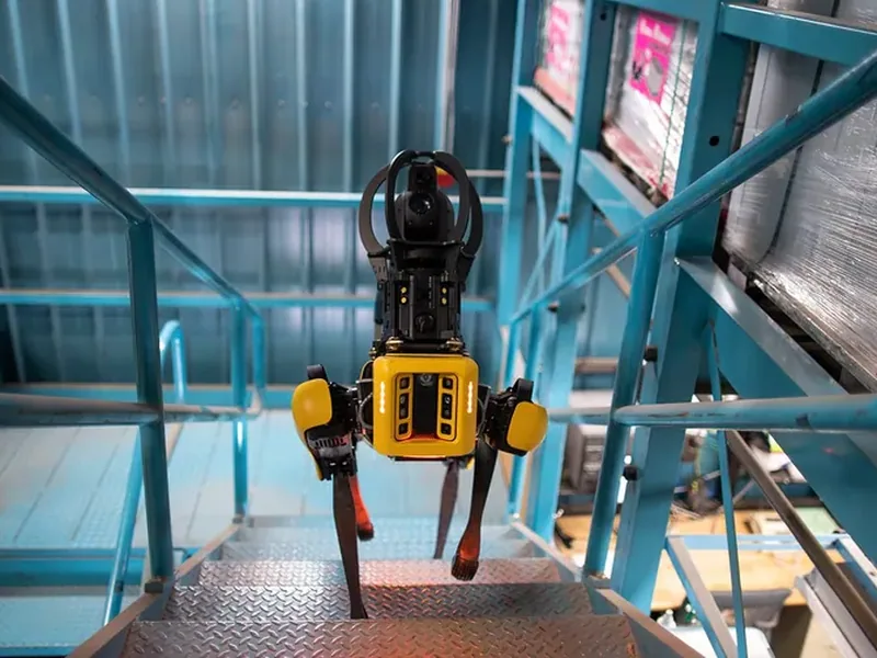
Spot
Agile quadruped that walks construction sites autonomously carrying laser scanners / 360° cameras for reality…
About $74,500
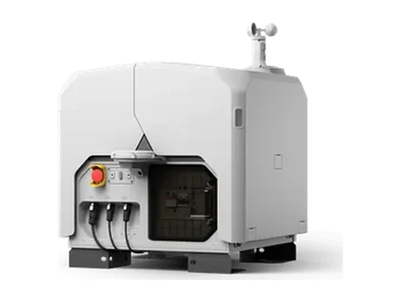
DJI Dock 3 with Matrice 4D / 4TD
Drone-in-a-box: dock stores/charges the drone and launches remote, scheduled missions for mapping, inspection and…
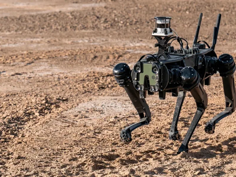
Vision 60 Q-UGV
Rugged quadruped UGV for defense and commercial use incl. construction site monitoring and bridge/infrastructure…
Exyn Nexys + ExynAI autonomy
Modular lidar SLAM mapping payload with autonomy software that lets drones and legged robots map GPS-denied…
Skydio X10 + Dock for X10
Autonomous drone in a charging dock that flies scheduled/on-demand missions without onsite pilot for construction…
Scaled Robotics site monitoring robot
Autonomous ground robot that laser-scans construction sites and compares scans with BIM for progress tracking and…
Buyer’s guide: inspection and scanning robots
How they work
Walking, driving or flying robots carry laser scanners, 360° and thermal cameras, and compare what they see with the plan or with earlier scans.
What to check before buying
- Sensors carried and accuracy
- Autonomous or remote-controlled
- Software and reports included