Exyn Nexys + ExynAI autonomy
Modular lidar SLAM mapping payload with autonomy software that lets drones and legged robots map GPS-denied spaces (underground, interiors) autonomously; marketed for mining, surveying and AEC scan-to-BIM
Models: Exyn Nexys, ExynAI · For drone, Spot and HyDrone platforms.
Price on request
At a glance
Specifications
| Runtime | >30 min autonomous flight (CHCNAV X500) |
|---|---|
| Navigation | GPS-denied, no prior map (CHCNAV X500); BVLOS GPS-denied mapping (DJI M-series); claims autonomy level 4 for drones |
| Compatibility | Mounts on FreeFly Astro Max, CHCNAV X500, DJI M-series, Boston Dynamics Spot (Nexys Ground Autonomy License), Seafloor HyDrone |
What it does
3d mapping, laser scanning, scan-to-bim, autonomous exploration
Where it works
About the maker
- Company
- Exyn
- Based in
- United States
- Status
- Active
- Sold in
- Not found on the maker's site
- Rental or as a service
- Not found
Facts from the maker’s own website (exyn.com), last checked 2026-10-30.
Similar robots from other makers
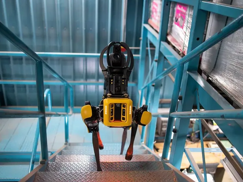
Spot
Agile quadruped that walks construction sites autonomously carrying laser scanners / 360° cameras for reality…
About $74,500
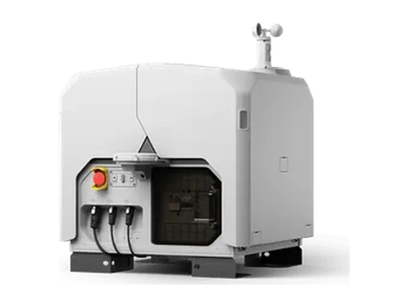
DJI Dock 3 with Matrice 4D / 4TD
Drone-in-a-box: dock stores/charges the drone and launches remote, scheduled missions for mapping, inspection and…
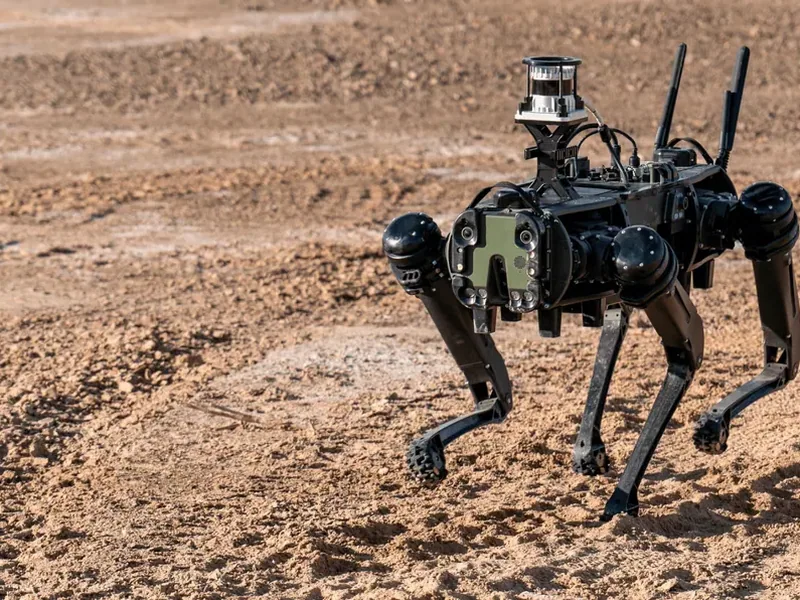
Vision 60 Q-UGV
Rugged quadruped UGV for defense and commercial use incl. construction site monitoring and bridge/infrastructure…
Underground autonomous flying robot
In-house autonomous drone that flies tunnels, sewers, penstocks and ore passes without pilot, GNSS or radio link…
Pay per data captured
Percepto Ranger drone + Harbor
Autonomous docked drone system for remote, scheduled site monitoring; used for solar-farm construction progress…
Skydio X10 + Dock for X10
Autonomous drone in a charging dock that flies scheduled/on-demand missions without onsite pilot for construction…
Buyer’s guide: inspection and scanning robots
How they work
Walking, driving or flying robots carry laser scanners, 360° and thermal cameras, and compare what they see with the plan or with earlier scans.
What to check before buying
- Sensors carried and accuracy
- Autonomous or remote-controlled
- Software and reports included