Raptor Solar Sentry
Remotely operated autonomous docked drones that fly visual/thermal inspection missions over solar plants, feeding Raptor's digital-twin platform
Price on request
At a glance
Specifications
| Sensors | Visual + thermal |
|---|---|
| Other | 100+ units active on 18 GW+ of solar assets; remote-triggered missions |
What it does
Aerial thermal inspection, remote site response
Where it works
About the maker
- Company
- Raptor Maps
- Based in
- Somerville, United States
- Status
- Active
- Sold in
- India
- Rental or as a service
- Yes
Facts from the maker’s own website (raptormaps.com), last checked 2026-10-29.
Similar robots from other makers
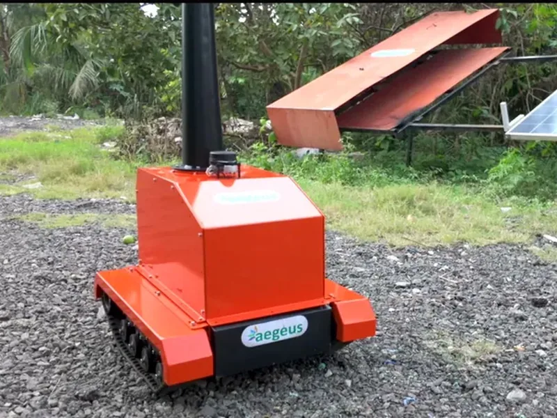
Asset Guard
AI surveillance robot for solar plant monitoring.
SolarDrone
Industrial drone with high-pressure cleaning payload for solar panels; also aerial inspection; separate site…
SandStorm
Patented self-powered autonomous dry-cleaning and diagnostic robot that runs along ground-mounted PV/tracker rows…
SS-AI Series
Robot carrying FLIR thermal + AI cameras to detect hotspots, micro-cracks and dust while traversing modules
Terafab
Robotics-assisted automated field factory on the construction site that assembles tracker tables with modules and…
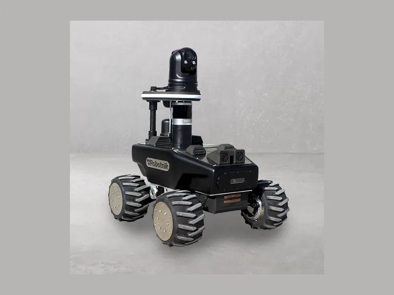
RB-WATCHER
Autonomous wheeled inspection/surveillance robot; in PV case it drives the corridors between panel rows capturing…
Buyer’s guide: inspection and scanning robots
How they work
Walking, driving or flying robots carry laser scanners, 360° and thermal cameras, and compare what they see with the plan or with earlier scans.
What to check before buying
- Sensors carried and accuracy
- Autonomous or remote-controlled
- Software and reports included